
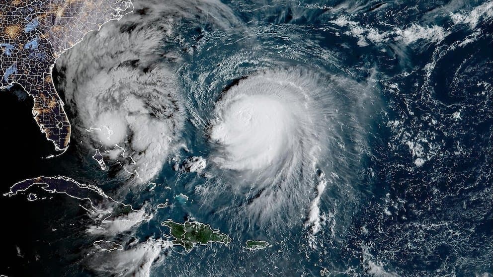
Recent JMA and JTWC observations confirm Typhoon Koguma rapidly intensified over warm central Pacific waters, reaching very strong typhoon status with central pressures near 950 hPa and sustained winds of 85–115 knots during October 10–11. Favorable conditions including low wind shear, strong outflow, and sea-surface temperatures above 29°C supported this peak before the storm recurved northeast and encountered cooler waters, leading to swift weakening into a tropical storm by October 13 and extratropical transition. Model consensus and real-time satellite data aligned on this trajectory, underpinning the market’s 97.8% implied probability for very strong intensity. Only major post-season reanalysis revising peak winds below the very strong threshold could alter the outcome.
Experimental AI-generated summary referencing Polymarket data. This is not trading advice and plays no role in how this market resolves. · UpdatedView resolved
Beware of external links.
Beware of external links.
Frequently Asked Questions