
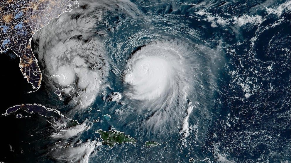
Recent satellite observations and official analyses from the Japan Meteorological Agency show Typhoon Koguma reached peak sustained winds near 115-120 kt with a central pressure around 941-947 hPa on October 10-11 before beginning steady weakening. This intensity aligns with JMA's Very Strong Typhoon threshold but falls short of Violent criteria, which require substantially lower pressures or higher winds. Current position at roughly 32°N, 150°E with winds now near 75-85 kt reflects rapid decay over cooler North Pacific waters and increasing shear, consistent with model consensus projecting further decline to severe tropical storm strength within 48 hours. The 97.8% market-implied odds on Very Strong reflect this observed peak and trajectory, though an unexpected re-intensification before full extratropical transition remains a low-probability outlier.
Experimental AI-generated summary referencing Polymarket data. This is not trading advice and plays no role in how this market resolves. · UpdatedView resolved
Beware of external links.
Beware of external links.
Frequently Asked Questions