
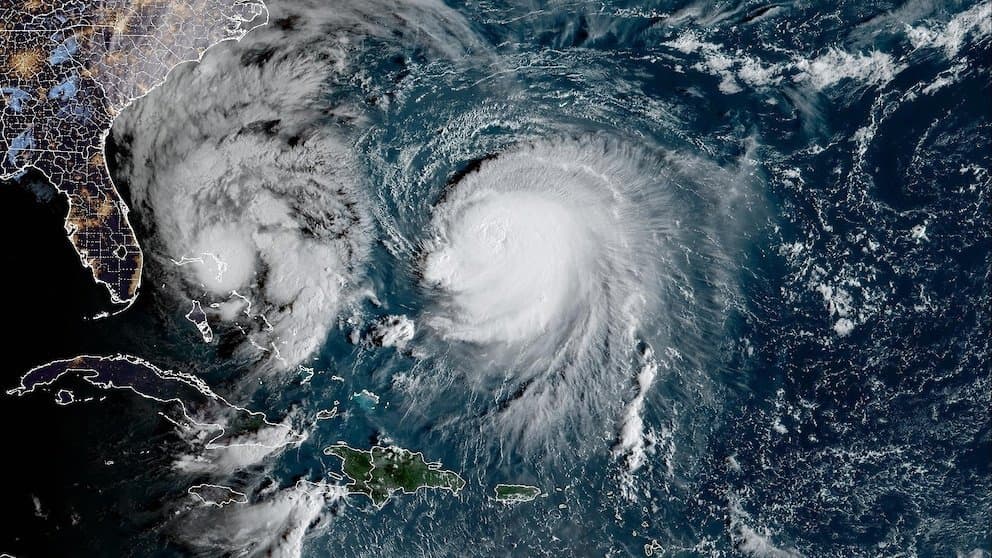
Recent official analyses from the Japan Meteorological Agency and Korea Meteorological Administration show Typhoon Koguma has weakened rapidly northeast of Japan, with central pressure rising to 975–985 hPa and maximum sustained winds falling to 55–70 kt as of October 13. This aligns with model consensus indicating increased vertical wind shear, cooler sea-surface temperatures, and extratropical transition that limit further intensification. Satellite imagery and intensity trends confirm the storm peaked earlier but will not regain violent-typhoon thresholds (105+ kt). The 97.8% market-implied probability for a very strong classification reflects this observed trajectory and forecast agreement. A realistic challenge would require an unexpected stall over warmer waters or sharply reduced shear in the next 24–48 hours, potentially allowing re-strengthening before full transition.
Experimental AI-generated summary referencing Polymarket data. This is not trading advice and plays no role in how this market resolves. · UpdatedView resolved
Beware of external links.
Beware of external links.
Frequently Asked Questions