
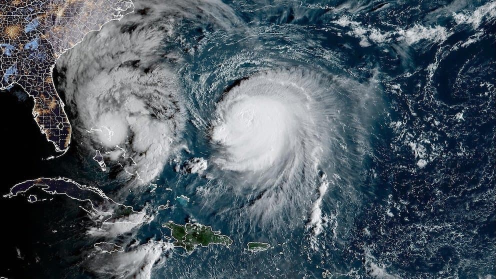
**Hurricane Simon reached Category 4 intensity (130–156 mph sustained winds) in mid-October 2026 before weakening.** National Hurricane Center advisories confirm it attained peak winds near 140–150 mph around October 10, driven by favorable conditions including warm eastern Pacific waters several degrees above average and low wind shear that supported rapid intensification. A compact inner core and pinhole eye facilitated this quick strengthening, consistent with small storms' potential for sharp intensity swings. The market's overwhelming 97.3% probability on Category 4 reflects verified satellite and reconnaissance data showing this peak has already occurred. Current interaction with Mexico's mountainous terrain has reduced winds to Category 2 levels (around 95–110 mph as of October 12), with official forecasts showing gradual weakening and no expectation of further major intensification. Realistic scenarios that could alter the outcome include revised post-analysis intensity estimates or unexpected re-strengthening over water before final landfall, though model consensus and terrain effects make Category 5 (winds ≥157 mph) highly unlikely at this stage. The market aggregates trader assessments of these official thresholds and observational constraints.
Experimental AI-generated summary referencing Polymarket data. This is not trading advice and plays no role in how this market resolves. · UpdatedView resolved
Beware of external links.
Beware of external links.
Frequently Asked Questions